AN OVERVIEW OF BEL AIR
- Population of approximately 8,200 people
- 6.37 square miles in size
- ZIP code 90077
- Bordered by Brentwood to the west, Westwood to the South, Beverly Hills and Beverly Hills Post Office to the East, and Sherman Oaks and the Santa Monica foothills to the north.
BEL AIR
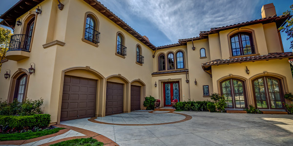
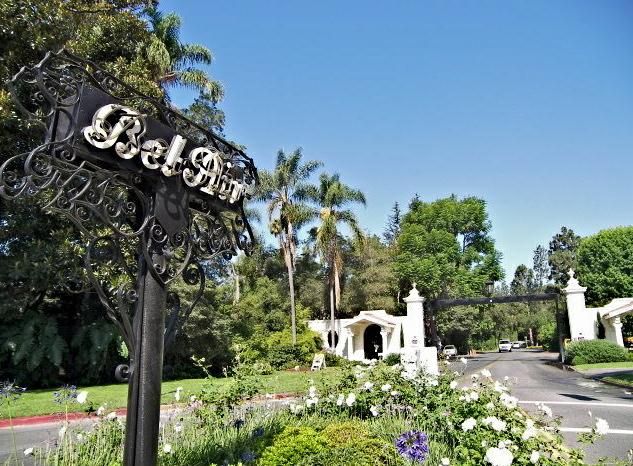
Bel Air, Bel-Air or Bel Air Estates is a small and extremely affluent neighborhood in Los Angeles, California. The neighborhood, which lies across Sunset Boulevard from the University of California, Los Angeles, is the site of four private and two public pre-collegiate schools. Founded in 1923, the neighborhood has no multifamily dwellings and has been the filming location or setting for television shows.
The 2000 U.S. census counted 7,691 residents in the 6.37-square-mile (16.5 km2) Bel Air neighborhood; with 1,207 per square mile it has among the lowest population densities for the city and the county. In 2008, the city estimated that the population had increased to 8,253.
Bel Air is situated about 12 miles west of Downtown Los Angeles and includes some of the foothills of the Santa Monica Mountains. It lies across Sunset Boulevard from the northern edge of the main campus of the University of California, Los Angeles. At the heart of the community sits the Bel-Air Country Club and the Hotel Bel-Air.
Along with Beverly Hills and the Los Angeles community of Brentwood, it is one of the “Three Bs”, a wealthy area in the Los Angeles Westside.
LISTINGS IN THE AREA
Compare Properties
Please create a page that is using page template "Property Comparison".